
Heald and Bradley Pond Reserve
Conserving over 800 acres with several thousand feet of shoreline across two ponds, this property is dedicated to use and enjoyment by the public. The property includes most of the western shore of Heald Pond, access to the southern shores of Bradley Pond, and much of Whiting Hill, Amos Mountain, and Flat Hill.
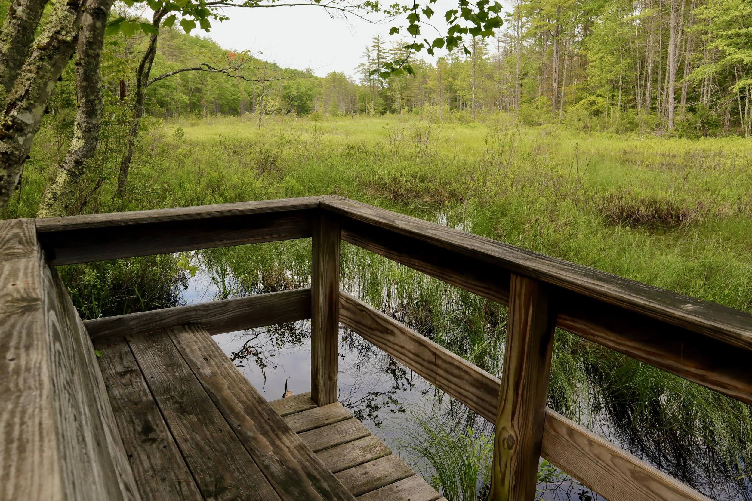
Most of the property is upland forest, bordered by Route 5 on the west and Slab City Road on the south. There is some riparian environment between Bradley and Heald Ponds, and limited wetlands.
Several miles of well-marked hiking trails lead to views from the tops of Whiting Hill, Amos Mountain and Flat Hill as well as access points on both ponds. There is a separate parking lot located just east of Mill Brook off Slab City Road (with maps and a kiosk), two points of access with limited parking off Route 5, as well as a separate parking lot and kiosk off Heald Pond Road that provides access to the Flat Hill and Bradley Pond areas. The forest was worked hard as a timber resource for many years, and is today actively managed by GLLT to maintain forest health, build resilience in a changing climate, and improve habitats for the many species of wildlife that reside here.
Directions
This Reserve has five additional trailheads in total. See the map below for more detail.
From the GLLT office located at 208 Main Street in Lovell, drive north on Route 5, then:
Parking Lot 1-Flat Hill: Turn right on Slab City Road. Turn left 1.5 miles onto Heald Pond Road (a dirt road). At the end of the Heald Pond Road continue straight 100 feet into the parking lot.
Parking Lot 2: Turn right on Slab City Road. The parking lot is on the left, 0.5 miles from the intersection. It is just beyond the boat landing, also on the left.
Parking Lot 3-Westways Trail: Drive past Slab City Road and continue north on Route 5. The Trailhead is across from the Westways Road entrance (marked by a large “Westways” sign and stone gate) approximately 1 mile north of Slab City Road.
Parking Lot 4: Travel north on Route 5 past Slab City Road and parking lot 3. Look for the small GLLT sign 1.5 miles on right.
Parking Lot 5-North End Trail: Travel north on Route 5, 2.5 miles past Slab City Road. The trailhead is on the right just before the south end of the North Lovell Cemetery. Please note: This is a small, dirt parking area with a steep gravel driveway. GLLT is working to improve this parking area.
The Property
The 808-acre Reserve includes over a mile of shoreline on Heald Pond and over half a mile on Bradley Pond in an area known as Slab City. It is a terrain of forests, streams, hills, and wetlands. The summits of Whiting Hill (801 feet) and Flat Hill (891 feet) and Amos Mt. (955 feet), offer excellent views, including the White Mountains to the west. Note that Amos Mountain’s summit is covered in trees, and that there are only views from this peak in the winter.
The land was conserved by Greater Lovell Land Trust (GLLT) in 1996 through the generosity of several hundred individuals, The Nature Conservancy, and the National Fish and Wildlife Foundation. In 1998 the Fort James Fiber Company generously donated the small lot on Slab City Road, which is today serves as a parking area. An additional 198 acres was purchased in 2009 from long term stewards, the Rogers family. The GLLT manages the property for many public benefits including out-door recreation, scenic vistas, forest products, and native wildlife.
Slab City
Heald Pond was named for Benjamin Heald, who built a sawmill here in 1840. Timber back then was the area’s economic back-bone. When the sawmills were operating, the “slabs” - the outside cuts of the logs – were piled high along the road, accounting for the name. Evidence of “shook” and cooper mills (where barrels were made to hold the rum and molasses of the Caribbean) is still found at the outlet of Heald Pond.

Activity Guidelines
The Reserve is open to public use for these:
Hunting and fishing in accordance with Maine Law.
Non-commercial foraging of berries, mushrooms, and other wild edibles
Hiking and picnicking
Horseback riding
Cross-country skiing
Snowshoeing
Snowmobiles on marked trails
These activities are not allowed:
Fires
Motorized vehicles (mobility aids permitted)
Unauthorized cutting/removal of vegetation
Camping
Please remember to leave a beautiful trace when visiting this place. Carry out all waste and please keep pets on a leash. Have questions about land use here? Contact us!
Contact us
Greater Lovell Land Trust
P.O. Box 225
Lovell, ME 04051
207-925-1056
info@gllt.org