
Research and Planning
Strategic Plan- 2026
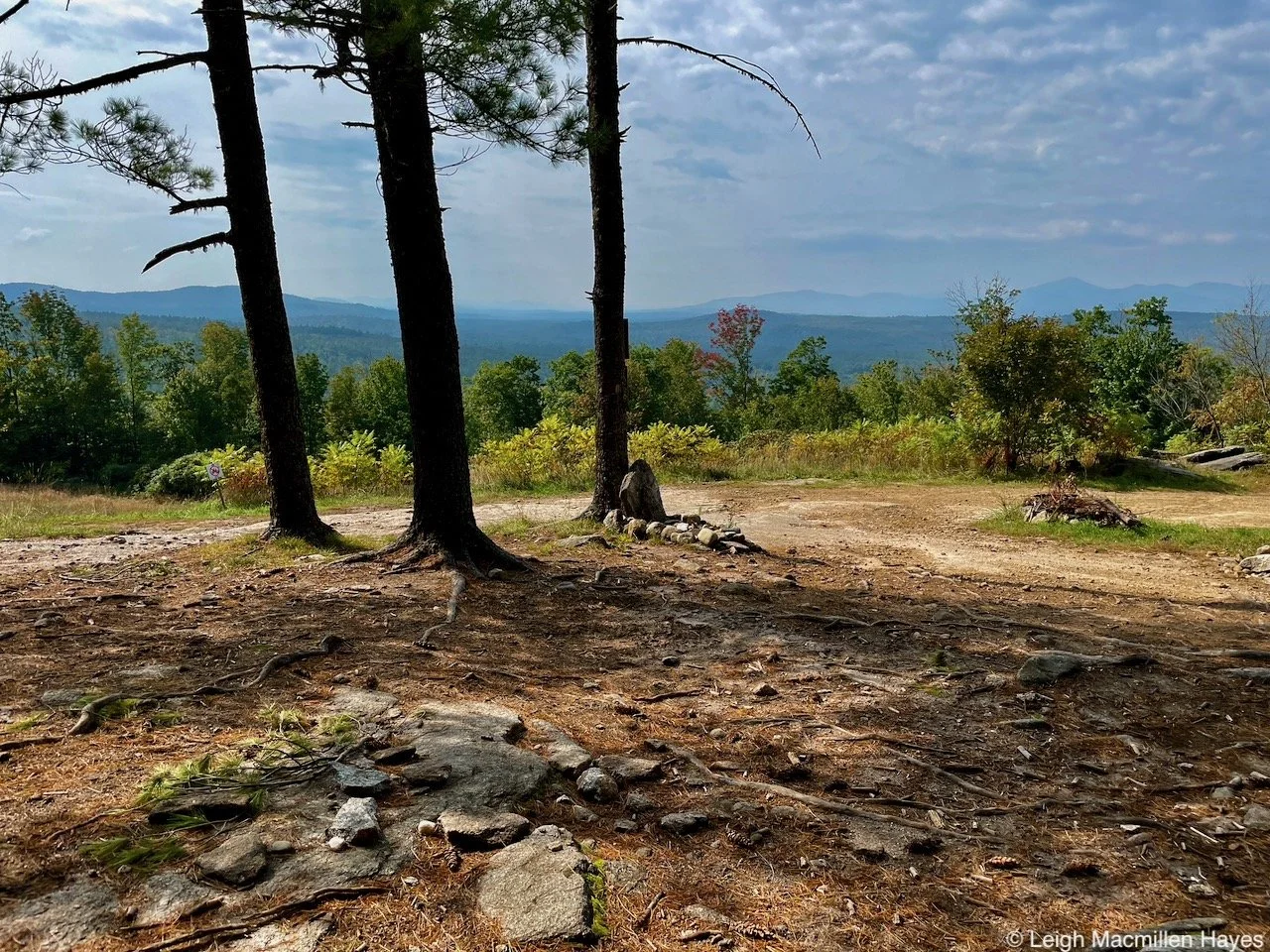
In 2025, Greater Lovell Land Trust staff and board embarked on a year-long strategic planning process. This plan will guide Greater Lovell Land Trust (GLLT) over the next five years as we conserve land, care for special places, and connect people to one another and to the lands and waters of Western Maine. It supports thoughtful decision-making in a region where conservation is closely tied to community well-being, changing land ownership, and long-term stewardship responsibilities.
Climate Resiliency Mapper — 2024
Landscape Prioritization and Strategic Mapping Tool
In an effort to develop new conservation strategies, specifically with regard to prioritizing targeted landscape features that relate to climate change, ecological value, and habitat integrity, five land trusts in western Maine and eastern New Hampshire (Loon Echo Land Trust, Mahoosuc Land Trust, Upper Saco Valley Land Trust, Greater Lovell Land Trust, and Western Foothills Land Trust) partnered with Rhumb Line Maps LLC to develop interorganizational focus areas and corridors for strategic planning. This informal land trust coalition wanted to enhance long-term climate resilience across the greater landscape for their region while also aligning with the individual missions of each member land trust.
Click here to read the full description of the tool.
________________________________________________________________________________________________________
Climate Adaptive Forest Management — 2024
A modeled approach to assessing climate impacts on forest dynamics and adaptive silviculture in Northern New England
The uncertainty of climate impacts on forested communities offers land managers an opportunity to adapt management tactics to implement alternative, adaptive approaches. In this study, the Western Maine Partnership (WMEP), a regional conservation initiative of five non-profit land trusts, identified five properties, one from each land trust organization, as focal study sites for identifying effective climate adaptive forest management tactics. To aid in the WMEP’s management planning process, UVM masters student, Will Durkin, assessed each property’s initial forest vulnerability and resilience based on species diversity, functional trait diversity, and abundance-weighted adaptability. Using a spatially-explicit processed-based forest growth model, HETEROFOR, on 16 representative forest types, he simulated forest dynamics under No Management and two climate-adaptive forest management scenarios (Resilience and Transitional) under two future climate pathways (SSP2-4.5 and SSP5-8.5) until 2100. The simulated implementations of adaptive management tactics showed the greatest improvement of future climate adaptability scores, as compared to No Management, in 12 out of the 16 sites. Overall, results varied significantly across sites, reinforcing the importance of accounting for current forest and site conditions in adaptive management planning and implementation.
Click here to read the full study report.
Click here for summary of regional forest impacts from climate change.
_______________________________________________________________________________________________________
Conservation Plan for the Kezar River, Kezar Lake, and Cold River Watersheds — 2008
These watersheds compose a region of contrasts that includes large roadless blocks of forest as well as small, settled village centers. Recreational opportunities and spectacular panoramic vistas abound in the region making it a marvelous place to call home. Rooted in deep traditions of agricultural and forest stewardship, the shifting dynamics of landownership and visitor patterns present growing challenges for resource protection. This conservation plan had its origins in the recognition that this precious landscape is poised on the edge of great changes.
A GIS specialist collected and organized existing spatial data for the Cold River, Kezar Lake and Kezar River watersheds and incorporated these into a regional database covering the study area that can assist in the identification of areas of interest and help reveal underlying patterns across the landscape. This information was utilized throughout the planning process to map and analyze a variety of features such as rare plant, rare animal, natural community and habitat data. The data also offered insight into where future field efforts would have the greatest likelihood of documenting additional significant natural features.